Recent Highlights
Abu Dhabi Spatial Data in numbers
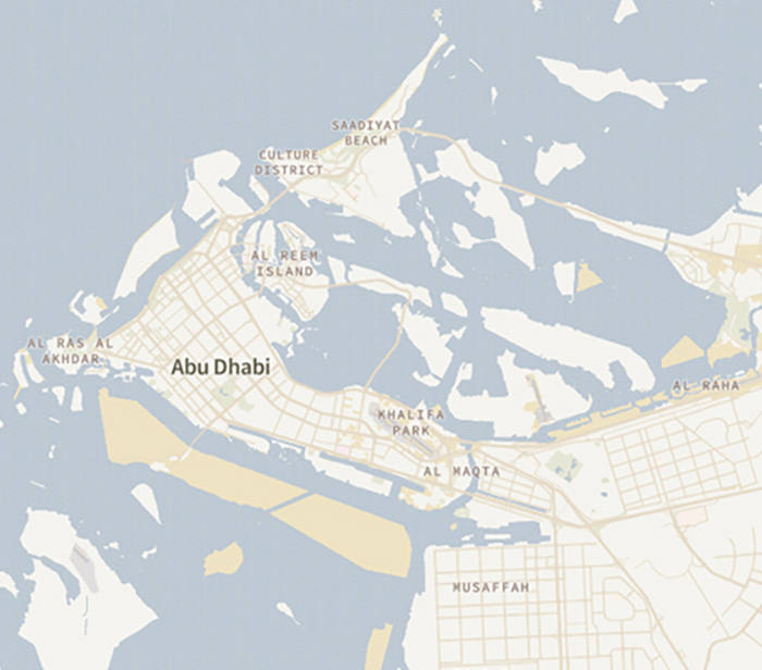
Explore high accuracy maps
Browse data by Themes
Quick Access
News
Stay informed about the latest events, workshops, and updates through the AD SDI community. This platform is your one-stop hub for reviewing announcements, participating in workshops, and strengthening engagement with AD SDI community initiatives.
Loading media items...
Contact Us
Send us a message using the contact form and someone
from the team will get back to you.
Need Specific Spatial Data?
If you're looking for customized datasets or additional spatial information, submit a data request using the button below. Our team will review your request and get back to you promptly.
Click Here
Max 300 characters
Back to top